

On-the-Fly Hiking Guide
PinLoopGo is your on-the-fly recreational walking guide. Your biggest supporter for daily healthy exercise.
Choose a starting point on the map, your desired distance and direction, and instantly get a circular walking route with a (mobile) map, step-by-step instructions, and interesting background information. Your starting point is also your finish line, so after your walk, you’ll conveniently end up right back where you started.
The entire world map is hosted on our servers. OpenStreetMap, Leaflet, and the Valhalla routing engine form the foundation for this. We developed and optimized the interface and the software we use to calculate circular routes ourselves. We draw on sources such as Wikipedia and ChatGPT to enrich our routes with background information, points of interest, and handy tips for along the way, such as benches, picnic tables, and parking spots.

With the push of a button
Anywhere in the world, with the push of a button, plan a round-trip route featuring Points of Interest (POIs) and turn-by-turn directions.
From your front door, your hotel, your Airbnb, the train station... Anywhere in the world.

Start = Finish
Choose how far you want to walk—from a few to dozens of kilometers. Choose your preferred terrain and wind direction. Start from wherever you are and you’ll automatically end up back at your starting point. From a carefree city stroll in Breda to an adventurous (but no less carefree) hike in Norway.
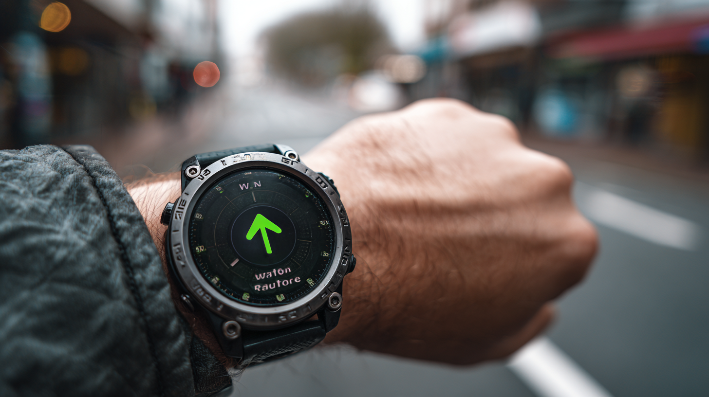
Save, download, share
Save your generated routes, download them in PDF or GPX format for your smartwatch, or in Google Earth KML format, and easily share your hike—including via a handy QR code. Inspire and invite others 🙂

The map takes center stage
Check the map, select a start/finish point, your desired distance, and—among other things—the direction you want to walk (or run; a GPX download is available for your smartwatch), and with the push of a button, you’ll get a loop route in just a few seconds.
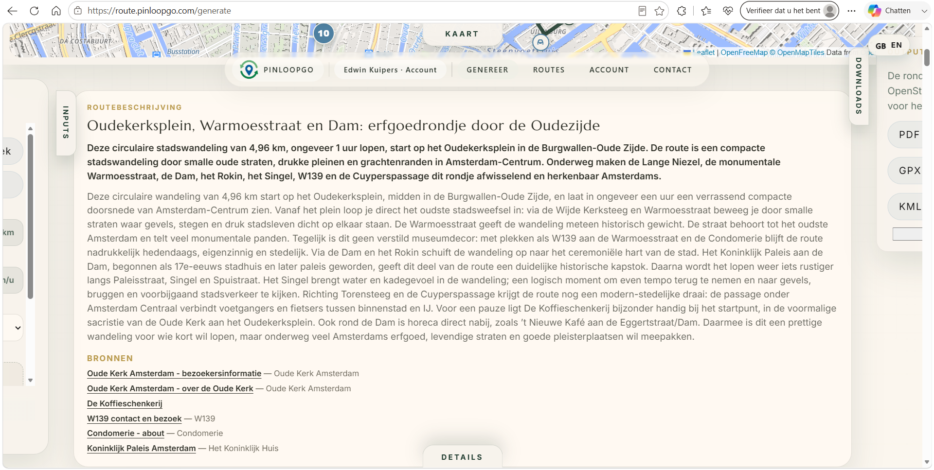
AI Directions
We use Wikipedia for background information on the POIs you'll encounter along the way. And we use AI / ChatGPT to gather even more up-to-date information from the internet and provide a detailed description of the hike.

Mobile or paper navigation
You don't need to install an app; you can simply follow the route instructions in your browser. Would you rather have a PDF for the road? Download the hiking guide and print it or view it on your phone. Easily share your routes with your hiking or running friends!

“
"PinLoopGo makes walking more accessible, easier, more fun, more educational, and more interesting—and more challenging if that’s what you’re looking for. It’s inspiring for yourself and wonderful to share."
Edwin Kuipers
CEO

How much does Pinloopgo cost?
Use of Pinloopgo is free during this initial period and limited to a select group of invitees/the first group of users.
Soon, the service will cost €3.99 per month / €34.99 per year, based on fair use.
For "industrial"/heavy-duty use, OEM, and/or custom solutions, individual arrangements can be made. Please contact us at info@pinloopgo.com for more information.
Furthermore, Pinloopgo is ideally suited as a platform for fundraising events organized by, for example, charities and (interest) groups.
Finally, we offer group discounts, and special arrangements can be made with, for example, (hiking) clubs, associations, and insurance companies so that they can offer Pinloopgo to their members and clients at a reduced rate.

